

GIS automation
TAKEPOINT: Spatial Intelligence From First Take to Last
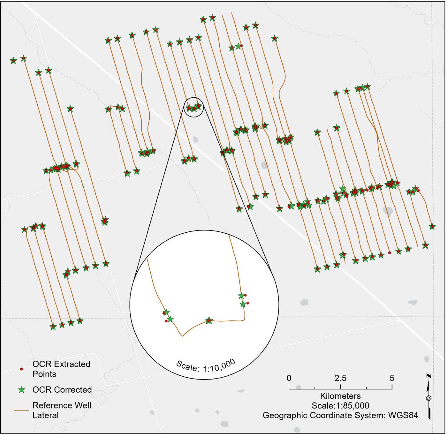
Well-location validation, drainage overlap analysis, and production-water pond detection in the Midland Basin, Texas.
TakePoint / Enverus capstone
Read case studyGIS analyst / Calgary, AB
I use spatial analysis, cartography, and automation to make geographic data easier to use and trust.
Explore my workGIS automation
Well-location validation, drainage overlap analysis, and production-water pond detection in the Midland Basin, Texas.
TakePoint / Enverus capstone
Read case study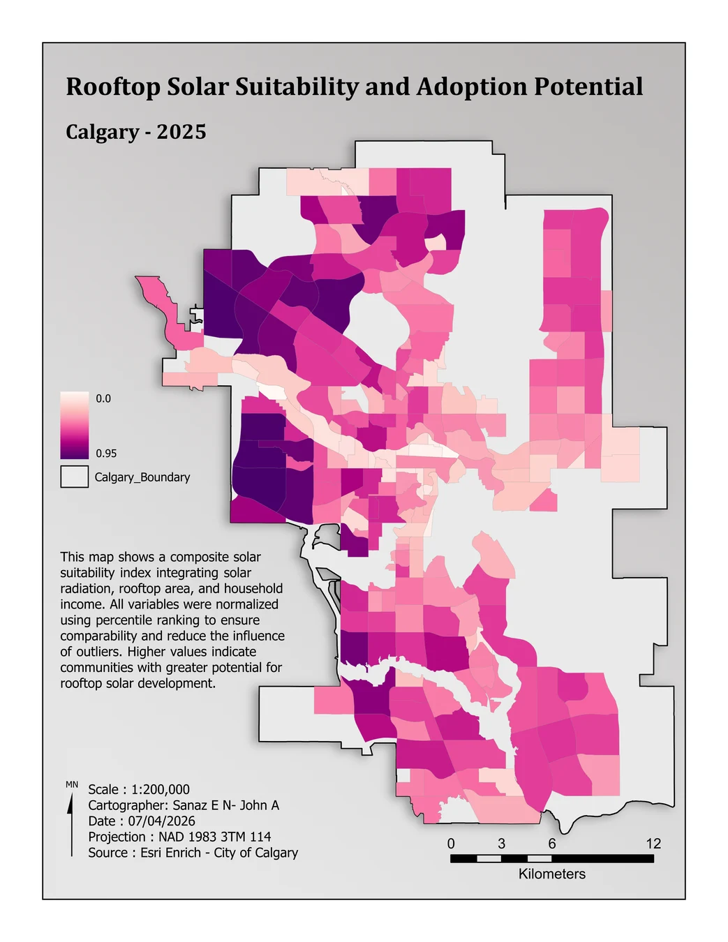
Spatial analysis
Combining LiDAR, roof area, solar radiation, and household income to compare Calgary communities.
SAIT BGIS / Calgary rooftop solar study
Read case studyMy background in geomatics engineering and surveying shapes how I work with spatial data, from collection through analysis and mapping.
2026
Project Manager / GIS Analyst
Coordinated team work on extracting well coordinates from scanned documents and preparing them for spatial quality review.
2017–2020
GIS / Civil Technician
Prepared spatial data, managed survey records, and produced GIS maps and CAD drawings for civil engineering work.
2013–2017
Sales Manager, Garmin GPS products
Advised customers on GPS configuration, mapping, coordinate systems, and positioning accuracy.
2011–2013
GIS Technician
Edited spatial datasets, checked their quality, and produced maps for location-based services.
I’m interested in GIS opportunities in Calgary and would be glad to talk about my work.